We support Christians for environmental action through conservation projects, resources for churches and involvement in global networks.
At A Rocha Kenya, we believe that sound scientific research is the cornerstone of effective conservation. We are committed to understanding and protecting Kenya’s diverse terrestrial ecosystems through rigorous data collection and analysis. Our work in the Arabuko-Sokoke Forest and Dakatcha Woodland, alongside our comprehensive bird monitoring and species surveys, provides crucial insights that drive our conservation actions.
Here are the key areas of focus:
Bird Monitoring
Since its inception, A Rocha Kenya has been a leading force in monitoring the bird species along the coast and their population. Our expertise in bird ringing, bird atlasing, and bird counts has been instrumental in understanding and protecting these avian populations.
Bird ringing
Bird ringing is a powerful tool in A Rocha Kenya’s conservation science toolkit. By carefully capturing, ringing, and releasing birds, we gather essential data on their lives and habitats.
Every Thursday, from 7-10:00 AM, we have a bird-ringing session at Mwamba- our main field office in Watamu. Join us! Explore our dedicated bird ringing page to learn more about this vital research and how you can contribute: Bird Ringing
We conduct regular monthly bird counts, focusing on Mida Creek and the Sabaki River Estuary, to track local avian population trends. Additionally, we collaborate with the National Museums of Kenya for the annual waterbird counts, contributing to national and international monitoring efforts. Discover how these counts inform conservation strategies:
This attempts to provide information on the distribution, abundance, long-term change, and seasonal patterns of bird occurrence and extensively uses maps. It involves recording the bird species observed at any given location on a map. This map is a central focal point that others can access and is used for reference.
A Rocha Kenya is committed to ensuring the long-term survival of the five Malindi-Watamu Important Bird Areas (IBAs) designated for their international importance. The five IBAs include: Arabuko-Sokoke Forest; Mida Creek, Whale Island and Malindi-Watamu Coast; Gede Ruins National Monument; Sabaki River Mouth; and the Dakatcha Woodland.
These are all found along or near the coast, just 100 km north of Mombasa. One of these IBAs, Arabuko-Sokoke Forest, is considered one of mainland Africa’s most important forests for bird conservation. It is rich in rare and endemic wildlife, especially its fauna. Six Globally Threatened bird species and three rare, near-endemic mammals are found there.
Preliminary research at another IBAs, Mida Creek, suggests that it is one of the most productive mangrove ecosystems on earth, with eight out of nine East African mangrove species found there. Sixty-five species of aquatic birds are regularly recorded on the Creek and reach numbers of over 6,000 individuals. Crab plovers Dromas areola is also found on the Creek in numbers exceeding one thousand, giving the site international importance. The Crab-plover is the logo of A Rocha Kenya.
The five Watamu-Malindi IBAs provide an unusually high diversity of habitats ranging from dry coastal forest, coast scrub and thicket, seasonal freshwater pools, estuarine sand flats, and mangrove forest to beach, reef and off-shore rocky islands. Many of these habitats are designated as a UNESCO Biosphere Reserve or part of the Watamu National Marine Park and Reserve, the oldest marine park in Africa.
Arabuko-Sokoke Forest Research
The Arabuko-Sokoke Forest, a coastal treasure of biodiversity, is central to our research efforts. We carry out continuous studies to assess forest health, track species distribution, and evaluate the effects of environmental changes. This research deepens our understanding of the intricate interactions in this crucial ecosystem, guiding our conservation strategies.
Dakatcha Woodland Studies
The unique Dakatcha Woodland faces increasing conservation challenges. A Rocha Kenya is dedicated to studying this fragile habitat, focusing on species such as the Golden-rumped elephant shrew and the endangered Clarke’s Weaver. Our research provides critical data for the protection of this threatened ecosystem.
Ngulia Bird Ringing
Ngulia Bird Ringing is a collaborative initiative led by Colin Jackson from A Rocha Kenya that centers on capturing and ringing nocturnal migratory birds. This extensive study takes place at a key site along significant migration routes. It offers crucial insights into avian migration behavior, population trends, and habitat preferences, greatly enhancing our understanding of conservation requirements for birds in East Africa.
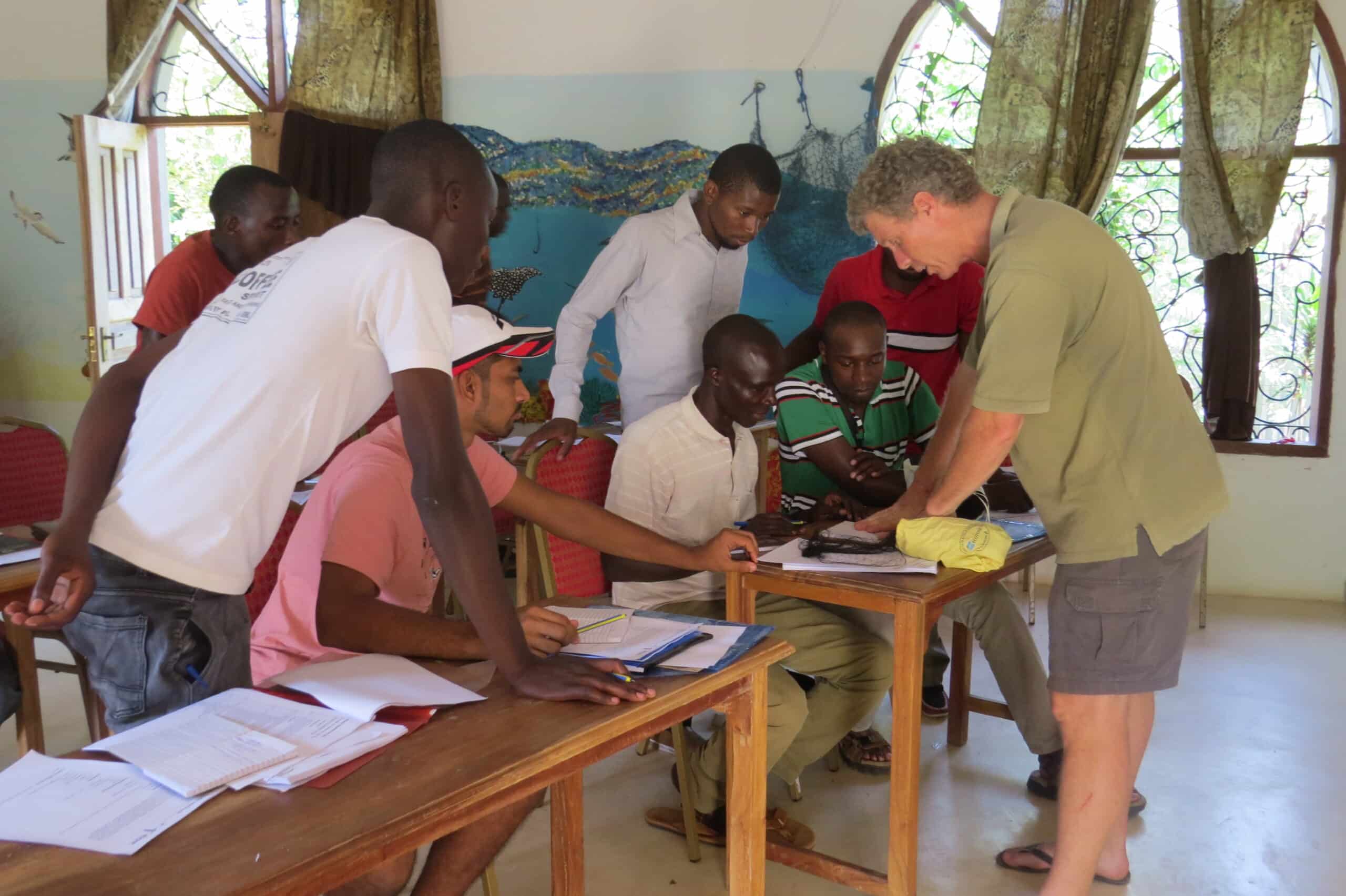
Training conservation professionals
Fundamentals of Ornithology course fieldtrip started in 1996 by Leon Bennun (at the time Head, Ornithology Dept, NMK) and Colin Jackson (working at the Ornithology Dept prior to starting A Rocha Kenya), ‘Fundamentals of Ornithology’ or FoO, is a course designed for birders (both professional and amateur) who want to improve their understanding of birds and their skills in the field.
Fundamentals of Ornithology – a course for bird guides and birders Ornithology Department, National Museums of Kenya, A Rocha Kenya, Tropical Biology Association and NatureKenya (the EANHS).
The Kenya Bird Map project is an exciting new project that is a joint initiative by A Rocha Kenya together with National Museums of Kenya, Tropical Biology Association, NatureKenya and the Animal Demography Unit of the University of Cape Town and managed through the Bird Committee of the East Africa Natural History Society.
The project aims to map all of Kenya’s bird species and describe their status with the help of valued input from Citizen Scientists – volunteer members of the public who are keen to contribute through going birding and submitting their observations to the project.
A species’ distribution is the most fundamental information needed in order to conserve it. Almost 30 years ago bird records were collected across Kenya that resulted in the book, ‘A Bird Atlas of Kenya’ that mapped and described the status of all the 1,065 species of birds then recorded in the country. Since then much has changed in terms of habitats and climatic conditions in Kenya and as a result the distributions and status of many of our birds have also dramatically changed – but we don’t know how or to what extent.
By pooling the effort of many Citizen Scientist birders, Kenya Bird Map will tell this story and in so doing provide a powerful tool for conservation.
Join the bird mapping team
If you are at all interested in watching birds, have any concern for the conservation of Kenya’s birds and enjoy being outside and exploring new places, then the Kenya Bird Map project is for you!
It is an exciting and stimulating project that combines a lot of excellent birding, exploring new and fascinating parts of the country, state-of-the-art technology and communication and serious science to produce dependable results that can be used to take real action for conservation.
While the website is still being completed to allow the capture of data and to show species maps in real time, observers can already register and field work has begun.
TO REGISTER E-mail us at [email protected] with the following information:
Name
Telephone number
Address
Email address
You will receive an Observer Number and password allowing you to login to Kenya Bird Map. Your login details will also allow you access to the other Virtual Museum for Africa sites.
The project is being funded by a Marie Curie Actions grant and the Natural History Museum of Denmark